Hiking & Camping at Mount Cook
and the winds of Aoraki.
Aotearoa, or New Zealand as many people know it, was created by a fisherman named Māui (yes, sort of like The Rock in Moana). The North Island was pulled out of the sea by Maui’s hook when he was out on a fishing trip with a few of his brothers. Unfortunately, they were caught in a relentless storm that flipped their waka, or war canoe. Luckily, Maui and his brothers climbed atop the overturned boat for safety. Unluckily, the chilly winds of the Pacific froze them to ice, eternalizing the brothers and their canoe into the mountains of the South Island. This is how the land of the long white cloud came to be.
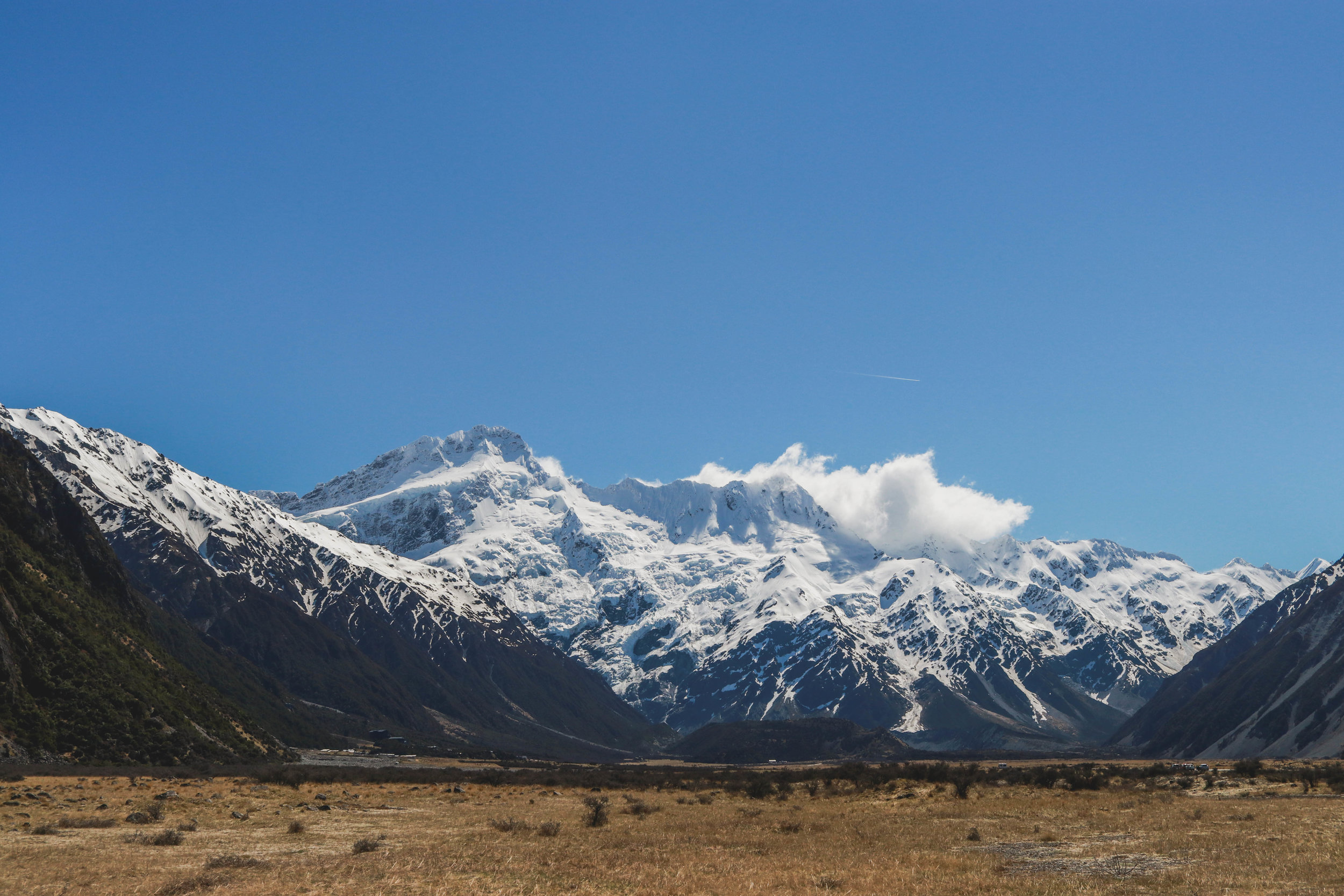
Aoraki, the oldest and biggest brother, is what we know to be the tallest mountain of New Zealand: Mount Cook. The Aoraki/Mount Cook National Park lays just 2 hours north of Wanaka, and is easily accessible via one of the most beautiful roads in New Zealand. It may seem like I say this about every road in the country, but seriously this road is beautiful.
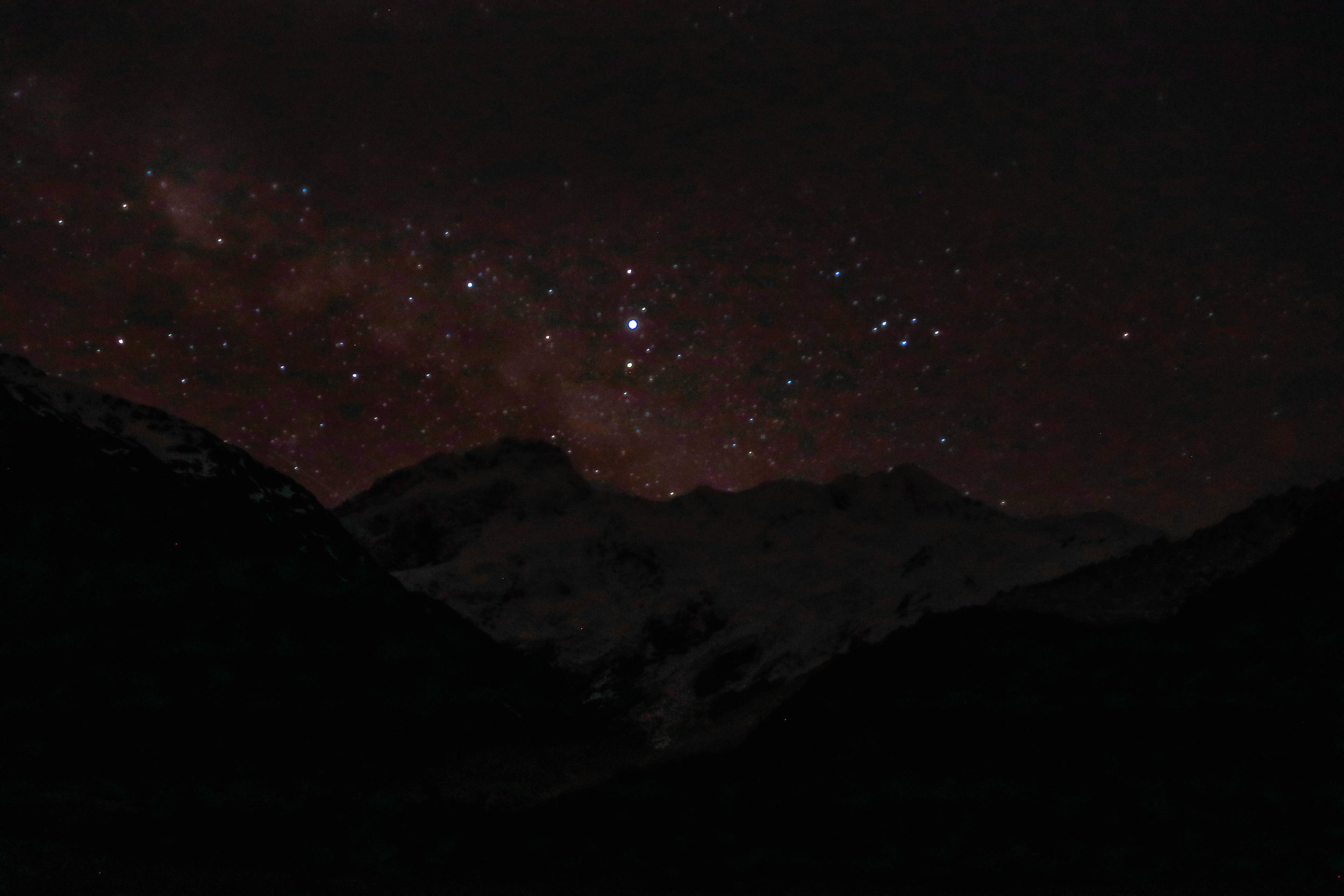
We decided to backtrack to Mount Cook after having been rained out in Tekapo a few days before. Both destinations are located within the Mackenzie Dark Sky Reserve, an area nominated to become a UNESCO World Heritage Site for its exceptional views of the night sky. But being that our night in Tekapo was unexpectedly cloudy, we saw it fit to come back to the region for a proper night under the stars.
As per usual, we headed straight for the DOC Visitor Centre to plan our short itinerary for 24 hours in the park. The DOC officer let us in on a little secret, “the best spots are past the third block of toilets,” he said. “Go as far as you can, and then all the way out into the field,” he said.
We plopped our party on the farthest patch of grass we could find, with a view of the mountain completely unobstructed by any of the nearby hills or vegetation. The perfect spot.
After relaxing in the sunshine for a bit, we headed down the Hooker Valley track, which begins right at the White Horse Hill Campground, only a few hundred feet from where we parked. Only 5 minutes after the trailhead, there’s a beautiful memorial for all the alpine explorers who lost their lives among the peaks of the park.
The track is an easy, meandering walk through the Hooker Valley, crossing swing bridges over lively rivers, winding through lush grassland flora, and ending at the Tasman glacier. Most of the trail is either gravel or boardwalk, making it extremely accessible to most visitors, so expect crowds.
At the end, after about one and a half to maybe two hours, you finally reach the Tasman glacier. Sadly, the glacier was just a couple of icy islands amidst a cloudy blue lake. Still, the scene is pretty legendary.
We made it back to our campsite just in time for sunset. We ate our dinner listening to the rumbling of avalanches as the snow-melting sun beat down on the far side of the mountain. We even decided to leave the rain fly off our tent for the night so we could watch the mountain beneath the stars.
We spent some time satisfying our stargazing needs, but quickly snuggled into our sleeping bags to escape the cold. I tried to sleep, laying facedown with my eyes closed for maybe two hours. Come midnight, I decided to drag myself out of the tent and put the fly back on for a bit of extra warmth, as the wind was starting to pick up. Soon enough, the wind was shaking the sides of the tent so hard that it was impossible to sleep - if not for the loudness of it, the sides and ceiling of the tent were literally slapping us in the face. Neither of us slept, for our concern of our tent ripping open kept us awake all night. While we picked a good spot for views, we realized a little too late that we picked a place smack in the middle of a wind tunnel beneath the biggest mountain in New Zealand. Nice job Einsteins. Needless to say, we accepted complete and utter defeat once the rain came for the last few hours before sunrise. That morning was pretty wet and pretty miserable.
Worth it though.


